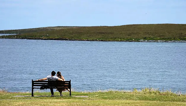
Temperatures could hit 32 degrees in places on Monday, according to the national forecaster.
A Met Éireann high temperature warning is now in force, with a “sweltering” heatwave taking full grip of Ireland today.
The status-yellow warning took effect at 6am on Sunday, with the country set to sizzle in daytime temperatures of more than 30 degrees on Monday and Tuesday.
Evelyn Cusack, Head of Forecasting at Met Éireann told Newstalk the peak of the hot weather will hit today.
“Today we are likely to exceed 30. The record for July is 32.3 in Elphin in Co Roscommon in 2006, so we are unlikely to breech that, but we are getting over 30 which is fairly unusual for Ireland.”
The highest temperature recorded on Sunday was taken at Phoenix Park in Dublin at 29.3 degrees. The highest temperature of all time at this location was 30.6 degrees.
Today was the warmest day of the year so far with Phoenix Park in Dublin recording the highest maximum air temperature of 29.3°C 🌡️📈👇 pic.twitter.com/skfHu5sGZr
— Met Éireann (@MetEireann) July 17, 2022
Nighttime temperatures are forecast to range between 15 and 20 degrees, making a tropical night – when temperatures do not dip below 20 degrees – likely.
The coming days will see if Ireland's highest temperature on record – 33.3 degrees at Kilkenny Castle on June 26th, 1887 – is beaten.
Keith Lambkin, head of Met Éireann’s climate services division, said climate change is increasing the odds of record-breaking temperatures.
“Due to climate change, we are expecting to see heatwaves become longer, more frequent and intense than in the past. This increase in heat, increases the odds of temperature records being broken,” he said.
Sweltering heat
Met Éireann meteorologist Paul Downes said the “sweltering heat” is due to the transport of an airmass, which has recently brought “exceptional” temperatures to Europe, towards Ireland.
“While the high builds in on Friday and Saturday the temperatures will range generally in the low to mid 20s,” he said.
“As the high begins to drift a little to the east on Sunday, temperatures will rise to mid to upper 20s, with temperatures possibly surpassing 30 locally on Monday.
“There is a little more uncertainty regarding Tuesday but it does look like it will be another hot day and perhaps as hot, if not hotter, than Monday.
“While this warmer air moves in our direction there will be the chance of a few thundery bursts, especially on Tuesday."

Mr Downes also warned that nighttime temperatures will be "very warm and humid" with temperatures on Sunday and Monday night not likely to fall below the mid to high teens.
"In some areas they may not fall below 20 degrees, which is known as a tropical night," he added.
The heatwave is likely to “break down” on Tuesday night into Wednesday, Mr Downes said, “as the low pressure system moves up over Ireland steering in cooler air from the west for the rest of the week.”
The short but intense heatwave has prompted warnings over risks including sunburn, heat stress, forest fires, melting roads and power cuts.


